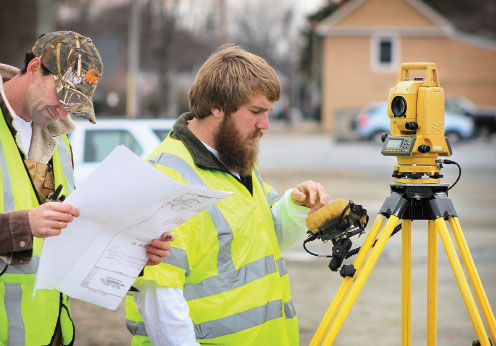
Focused on Surveying
With decades of experience, our licensed land surveyors combine knowledge, training, and technology to consistently produce accurate and timely representation of the conditions in the field for our private and public sector clients. Operating out of all three office locations, Davis Bowen & Friedel field crews are equipped with the latest survey technology, including Global Positioning Systems (GPS), capabilities and Topcon Robotic Total Stations providing horizontal and vertical control with high-precision, long baseline surveys.
AREAS OF EXPERTISE

SERVICES
Boundary Surveys
Topographic Surveys
Bathymetric Surveys
ALTA/ACSM Land Title Surveys
Construction Stakeout
Corridor Surveys
Traffic Signalization Surveys
Annexation
Utility Surveys
Aerial Mapping
Elevation Certificate
Condemnation Surveys
Archeological Easements
Wetland Mapping Systems
Machine Control Models
Certified UAV (Drone)
FEMA Letter of Map Change
SERVICES
- Boundary Surveys
- Topographic Surveys
- Bathymetric Surveys
- ALTA/ACSM Land Title Surveys
- Construction Stakeout
- Corridor Surveys
- Traffic Signalization Surveys
- Annexation
- Utility Surveys
- Aerial Mapping
- Elevation Certificate
- Condemnation Surveys
- Archeological Easements
- Wetland Mapping Systems
- Machine Control Models
- Certified UAV (Drone)
- FEMA Letter of Map Change
STAY CONNECTED
Join our mailing list to receive the
latest news and updates about our firm!
By submitting this form, you are consenting to receive marketing emails from: . You can revoke your consent to receive emails at any time by using the SafeUnsubscribe® link, found at the bottom of every email. Emails are serviced by Constant Contact

